Date:
Distance:
Elevation gain:
Average speed:
Time on the road:
9/8/2022
58.5 miles
1643 feet
8.4 mph
6 hours 55 minutes
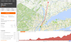
The maps show the approximate route we took and our daily destinations. Adjust map size and position to see the entire route.
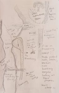
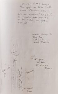
Special Note: Throughout the blog you will see thumbnails of Len’s drawings and notes. These are a very special recording of our experience. You can enlarge them by clicking on the drawing. Press the Esc key to return to the blog.
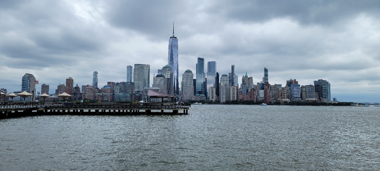
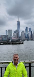
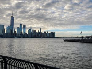
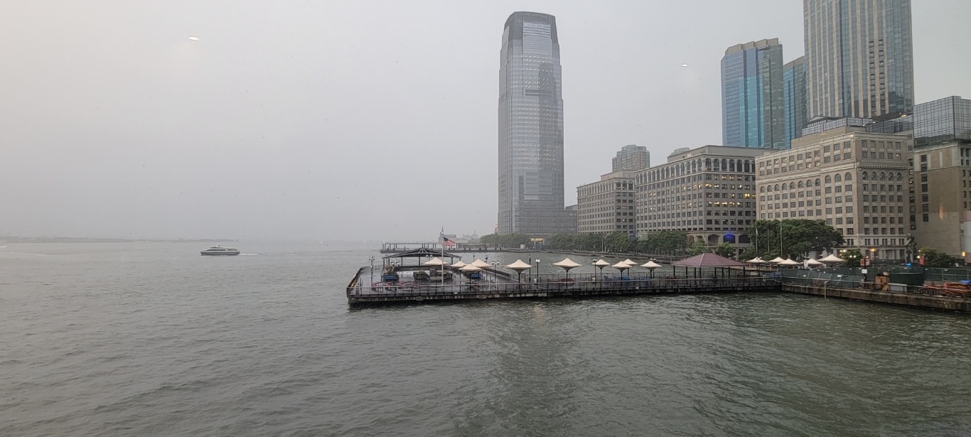
We started the day with a visit to Starbucks on the quay next to the Hyatt Regency. Strictly in store service so we sat on a bench outside and enjoyed the view of the New York City skyline and the comings and goings of cross-river ferries and their passengers. Particularly entertaining was a young black man, about 30 talking on his cell phone. He had lots of wires dangling from various parts of his head and clothing. Len had the impression that this was where he conducted his daily business though he wasn’t doing anything but talking on the phone. It was a most entertaining and personal conversation. Not what you’d expect on a public corner where anyone passing by could overhear the conversation. While Jim was retrieving something from his bike, he overheard the most outrageous description of the man’s encounters with women. The details shall remain unspoken, the private knowledge of Jim and Len. As we were departing, the conversation seemed to come to the point: the man was looking for $20 from his friend which he promised to pay back at the end of the week when he expected to have $97 and change on hand.
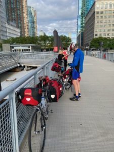
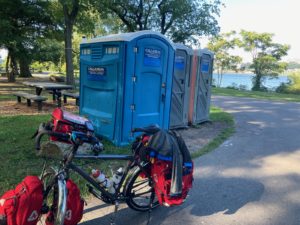
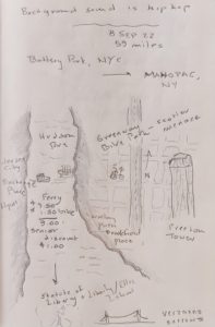 We rode down the quay to catch the 7:45 ferry ($.50 discount for us seniors, but $1.50 for each bike) to Brookfield Place in the Battery Park. There, we encountered our first problem: how to find the Greenway where we would begin the trip. We stopped to ask directions but were given only vague, “I think it’s over there” instructions in Spanish. A block or two further in from the Hudson River we found our starting point. The amount of bicycle and scooter (the kind you stand on that has small wheels and a steering column) traffic was mind boggling! The speed of travel was equally impressive. In short order, we got the hang of the traffic flow and blended in relatively well but not seamlessly given the presence of paniers that made the bikes much wider than normal. By the time we reached somewhere around 55th St, the traffic on the Greenway began to thin out. The scooters were gone and only bicycles, joggers and walkers remained. At one point, we were directed off the bike path and up a VERY steep grade. At the top of the grade were a couple of guys, smelling strongly of weed, who enquired of Len, “what’s he (referring to Jim) got in those bags, weights!? Is he working out?” Sure felt that way to me. This was a great distracting bit of mirth for Len and me after a short but brutal climb.
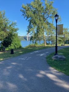
As happens so often in cities, in our experience, directions from riding apps aren’t always the best. In fairness to RideWithGPS, our app of choice, Jim hadn’t yet figured out how to use the app in an optimal manner. For those who might be interested, it is essential that the “cue sheet” instructions be turned on and that the screen setting for the phone is “always on.” We reached the end of the idyllic greenway bike trail with the Hudson River on our left and found our way to Broadway around 200th Street. The question became how do we reconnect with the Empire Bike Trail? A few questions of locals including a street crossing guard didn’t yield clear directions. So, we are relying again on Jim’s trusty GPS program that takes us up Broadway and a wild urban ride featuring double parked cars, trucks, buses, and elevated subway clanking above. Potholes that could swallow our front wheels, demanded attention as well. We cross, Sputyen Duyvil Creek, (“In spite of the Devil” in Dutch.” The creek runs into the Harlem River.) No one intended for bikes to be on this bridge! After a rush through cross traffic (no car is going to yield here) we reach Van Cortland Park and the bike trail.
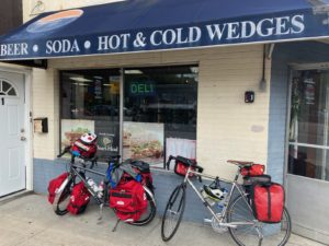
Lunch provided another source of entertainment. We ate at a place run by a couple of Hispanic guys advertising “Beer Soda Hot and Cold Wedges.” It was next to the bike path and despite the pile driver up the street, seemed like our best option for lunch. First question, what’s a Wedge? In this part of the country, a Wedge is a submarine sandwich. Who knew? We split an Italian Wedge and were on our way to Mahopac. The counter man and the sandwich man looked like an old set of twins…been making meatball sandwiches for 50 years.
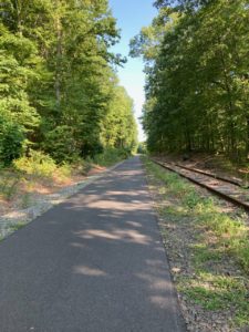
We progressed without incident on a beautiful rail trail to Mahopac where Jim’s lack of familiarity with the RideWithGPS app proved problematic. We ended up 2+ miles further down the path than the turn off for our night’s lodging, the Budget Motel. No problem. It was all downhill on the way back to the hotel and we got a preview of the beginning of the next day’s ride. As you might guess from the name of the place we were staying, it was a little sketchy but clean and the beds were ok. The problem was that they didn’t have the reservation, made by Jim using Expedia (more on that later).
Dinner at the Olympic featured a friendly and talkative waitress and way more than we should have eaten. It’s open 24 hours a day so we were back for breakfast. As we peruse the menu, Len remembers French fries and gravy as an East coast specialty. There it is on the menu! Hangover food for dinner.

