Date:
Distance:
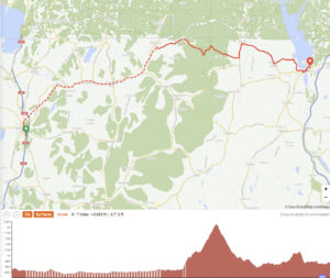
Elevation gain:
Average speed:
Time on the road:
9/16/2022
62.2 miles
3474
7.7 mph
8 hours 2 minutes
This was the day we were dreading, a long ride and a long steep climb preceded by 20 miles of unpaved bike path. Had we brought our passports, we could have avoided the Jay Peak climb by going into Canada. Such a simple thing. Passports weigh nothing compared to our total loads. My thinking before the ride was that we’d save a few miles by staying in the US and wouldn’t have to hassle with a border crossing. In addition, I hadn’t really appreciated the challenge that the Jay Peak climb would present, thinking that we would have been on the road for 8 days and would have compensated for any lack of pre-ride training (would have been true 13 years ago).
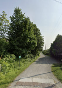
The day began with a 2-mile ride through St. Albans to reach the Missisquoi Bike Trail. In the beginning the trail surface was fine, well-compressed gravel and, at least for Jim (with 2.5” tires on his touring bike) was almost like riding on a paved surface, just a little slower. Len, riding the Seven he road across the country 13 years ago, had 25 mm tires running at 90 lbs. and found the surface more of a problem. At about 5 miles up the trail, we encountered a downed tree blocking the trail. Fortunately, there was a relatively easy path around the tree despite the dense vegetation on either side of the trail. Len crossed easily with only rear panniers on his bike and together we were able to first lift the front of Jim’s bike over the trunk of the tree and then the rear. No need to unload the bikes. We were on our way again.
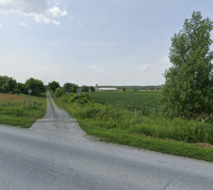
At mile 16 we arrived in Enosburg Falls and stopped at a convenience store seeking knowledge of whether or not we might be able to enter and return from Canada without passports. No one knew anything. One person Len asked had never been to Canada (only about 7 miles away on the road). We decided to ask in Richford, 5 miles up the road and only 2 miles from the border. After refueling on chocolate milk, our energy source of choice, we continued on to Richford and the end of the Missisquoi bike trail, which by that time had turned into a sometimes-single muddy track surrounded by well-mowed grass. Along the way, we encounter two cyclists who couldn’t help with our border crossing question. Richford was similarly of no help.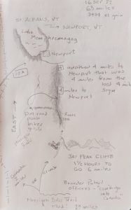
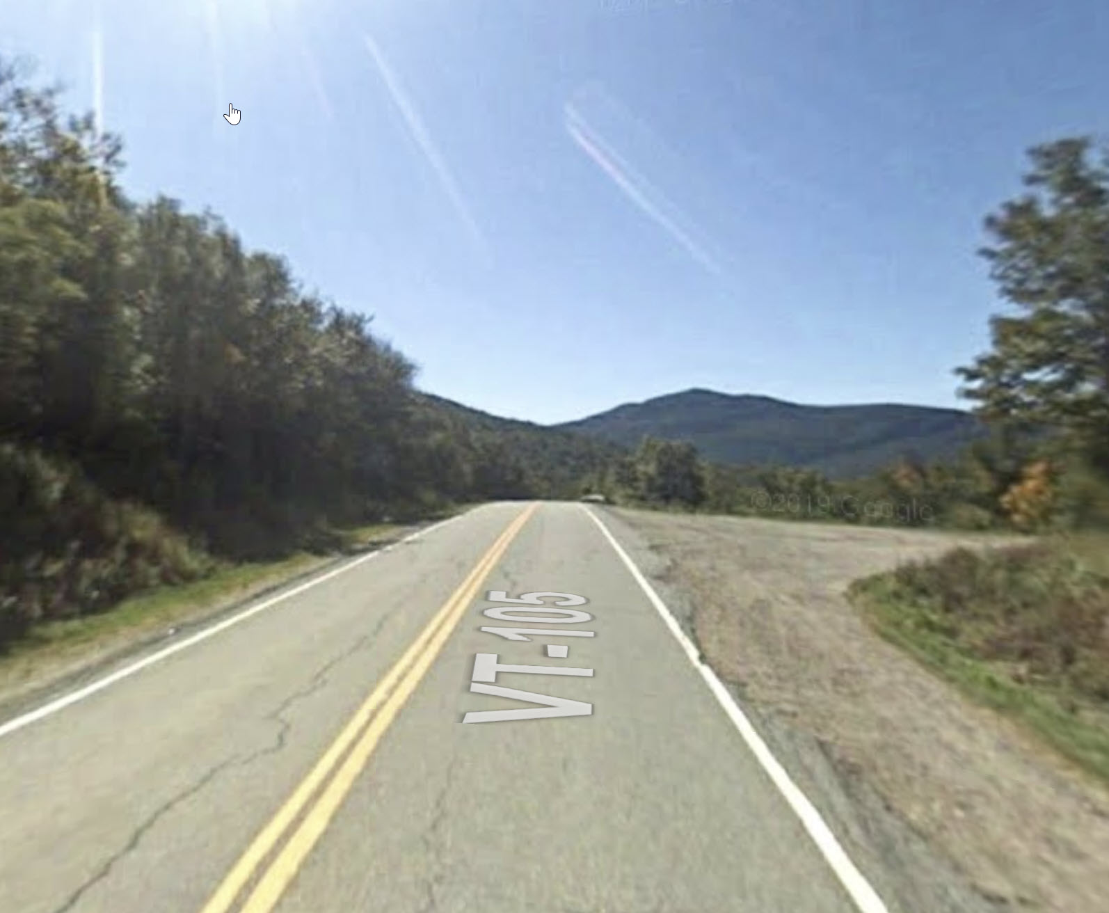
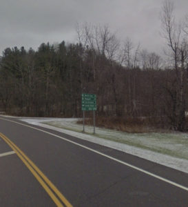
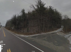
A mile further on, we see the sign reading “Canada 2 miles.” We decide Jay Peak was the way to go. Just before starting the climb, we pull of the road to hydrate (and de-hydrate) and spy two Border Patrol cars parked on the dirt road leading up the hill next to the place we stopped. Were they eating doughnuts and drinking coffee? Len approaches them cautiously, seeing the big guns they carry on their hips, and asks our question about a border crossing sans passports. They focused on the problems people seem to have now getting into Canada these days (a claim of which I am skeptical since my friend Peter Emmel drove into and out of Canada a few weeks ago with no problem). In any case, we decide to take the Jay Peak route, 1800 feet of climbing over about 5 miles. That climb only takes us an hour and after a rest at the top, we are rewarded with a long downhill.
Late in the day we are ready for a rest and a chocolate milk stop about 5 miles out of Newport. We pull into a gas station convenience store, the Lucier [or was it Lucifer?] Store for the needed refreshment and strike up a conversation with an old guy (older than us) cooling his heels before heading off for home. He tells us there’s one hill before we encounter a downhill as we pass a big water tower. After recovering, we head out for the final 5. The first hill is a killer and Len wonders if he can make it. But, with the prospect of downhill for the rest of the day’s ride, we make it to the top, only to find another hill, not quite as steep. Eventually, we pass the water tower and breathe a sigh of relief – no more hills before arriving in Littleton. Well, it was obvious the guy we talked to never rode a bike from where we met him into Littleton. In fact, there were 3 or 4 more hills, not too big or steep but plenty to garner our attention.
We arrive in Newport a little before 5, completely spent! After showering, we walk up the street to a nearby convenience store and score some wine to go with another Chinese dinner. The restaurant, Wok and Roll, is two doors down from the hotel (our alternatives were the convenience store or a Subway around the corner). The Chinese restaurant, it turned out, only did takeout with curbside delivery. Nonetheless, the woman running the place allowed us to put in our order inside and come back to pick it up in 20 minutes.
The inside was a sight to see. Stuff, both restaurant-related and not, piled everywhere. I even spied a sewing machine set up on one of the tables. We figured the food must be good since there was a constant stream of cars coming into the parking area and sometimes as many as 4 or 5 cars waiting. The food was good for a small town in northern Vermont.
We slept well while subconsciously mentally preparing for our third 60+-mile day, again with nearly 4000 feet of climbing. Up and down and up … and up.
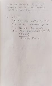
Len's notes for Day 9
Note: click on an image to enlarge it or hover over an image to stop the slideshow.
Note: Though some of the photos show snow, we encountered no snow on the trip. When we didn’t have photos for important locations during the trip, we borrowed liberally from Google Street View.

